
Haast Heli Services
Services Available
Scenic Flights
General Charter
Kayaking & Rafting
Hunting & Fishing
Inquiries
More information

Waiatoto River Safari
Inquiries
More information
Hapuka Estuary Walk
Maps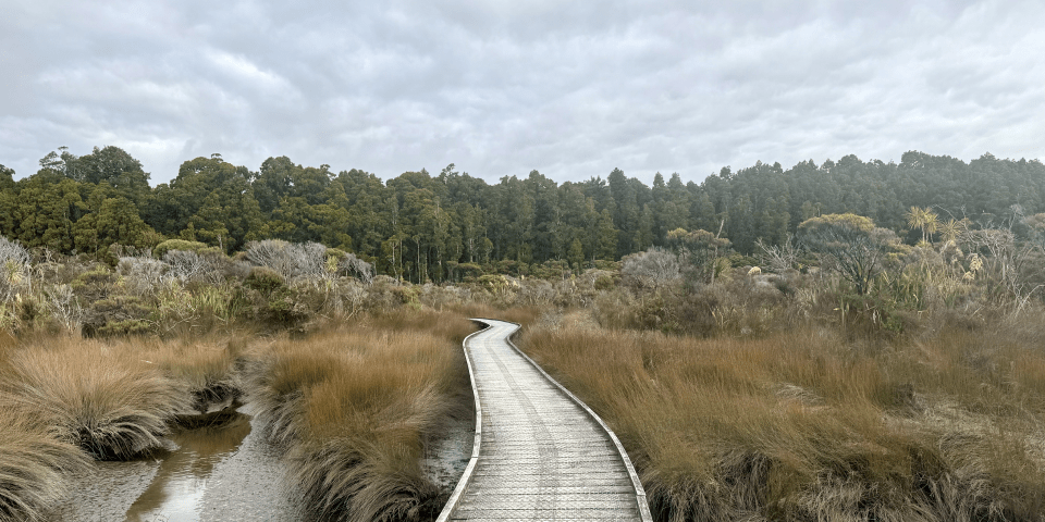
Beginning on a boardwalk through an intertidal zone, this track then takes you through podocarp forest to a lookout over the Open Bay Islands, just off the coast.
Ship Creek Walks
MapsSwamp Forest
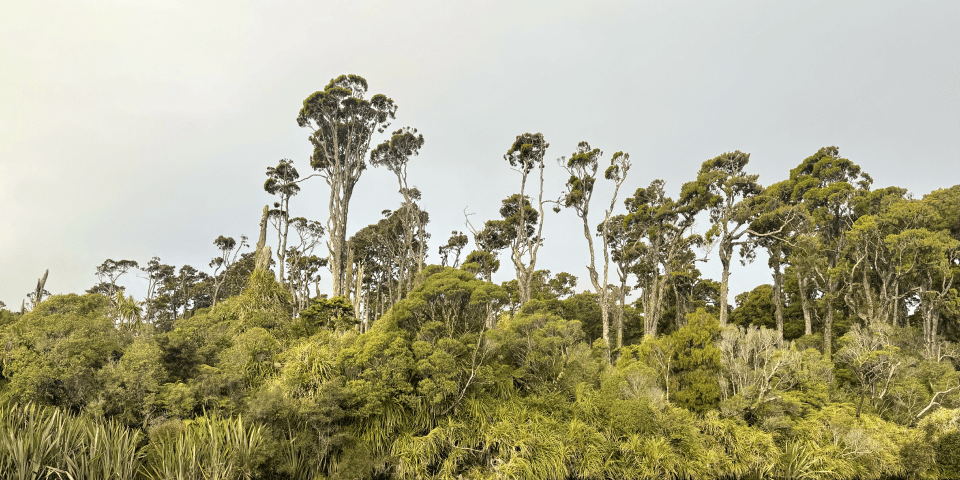
A gentle walk following the slow-flowing Ship Creek Tauparikaka. A creek-side viewpoint allows easy observation of the forest plants and wildlife.
Dune Lake
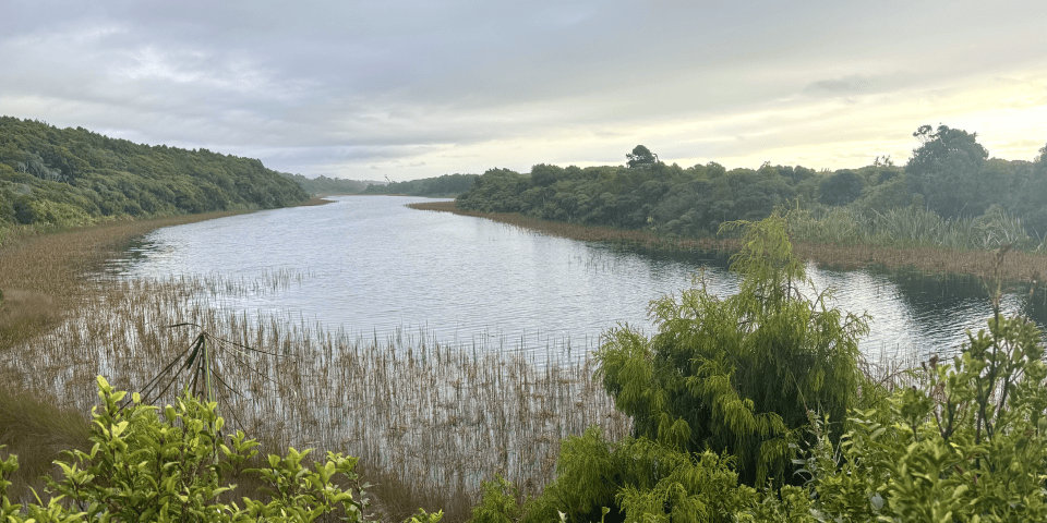
Enjoy magnificent photo opportunities of a dune lake, sweeping coastline, forest plants and wildlife on this walk.
Wharekai-Te Kou Walk
Maps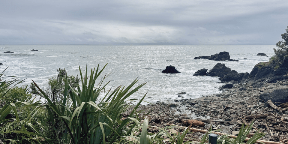
This short walk winds through the Okahu Wildlife Refuge, from sheltered Jackson Bay to the rocky shore at Ocean Beach. Read stories about tidal pools and the life of the rocky shore on interpretation panels.
Lake Ellery Track
Maps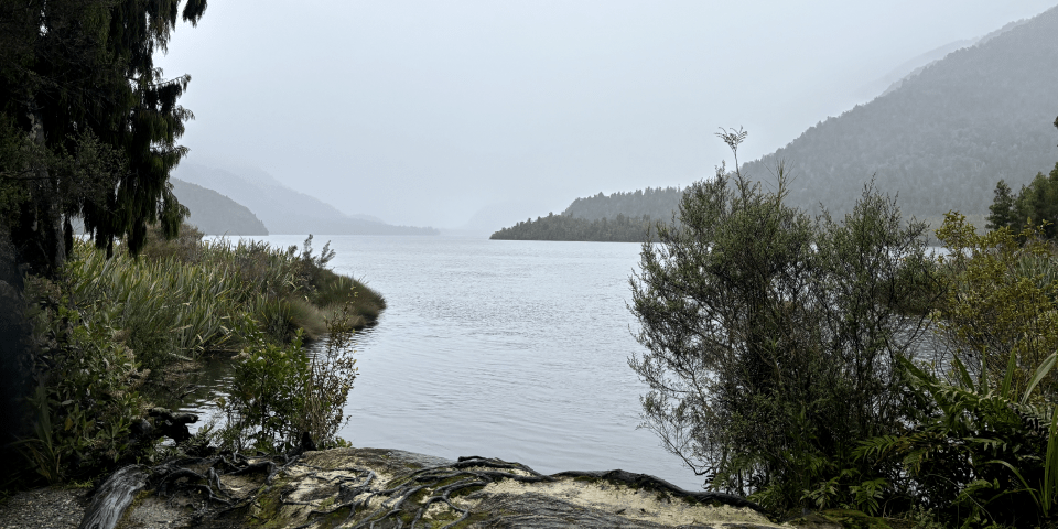
Walk through native beech and podocarp forest to a glacier-formed lake carved out by the former Arawhata Glacier.
Haast Pass Lookout Track
Maps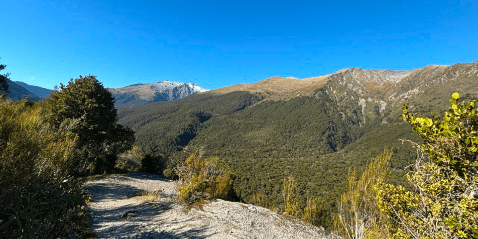
A short climb leading to a view point above the bush line with a good view of Mount Brewster.
Blue Pools Track
Maps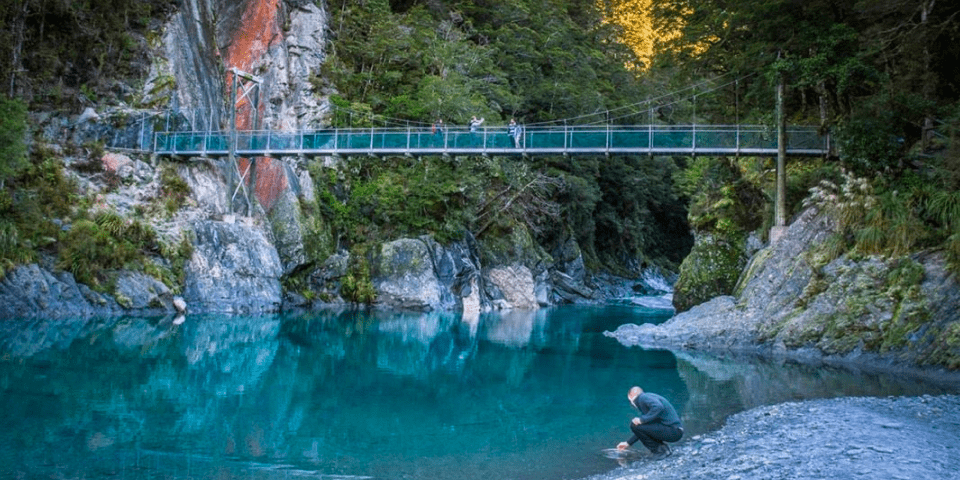
An easy short walk through mature beech and podocarp forest leads to these natural wonders of pure glacial water gathered from the mountains. Make your way across the swing bridges for an unparalleled view up the river gorge.
Monro Beach Track
Maps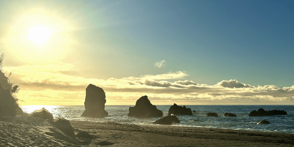
An easy walk through luxuriant coastal forest to the remote Monro Beach. Between July and December Tawaki (Fiordland Crested Penguin) might be seen in the surf and on the beach.
Kōkako Walk & Cycleway
Maps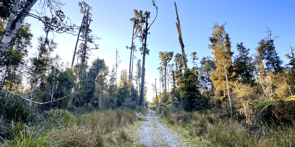
The Kōkako Track starts from Haast Township, making its way through native forest, to a disused logging road, down to Haast Beach. The 5.5 km (each way) track can be walked or cycled and is suitable for most people.
Blow Fly Hut
Maps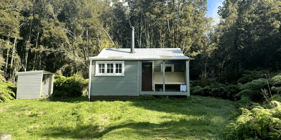
A relatively easy walk along an old pack track, crossing a
swing bridge over the Moeraki River to the original roadman's
hut. Sturdy footwear is recommended.
The hut lies along the Paringa cattle track. It used to be
known as Blue River Hut.
Smoothwater Bay Track
Maps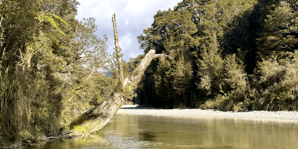
This track offers a variety of terrain, winding down an old
pioneer's track until the Smoothwater River is reached.
Continue down this clear-flowing river, keeping to the
riverbed, to reach Smoothwater Bay. Sturdy footwear is
recommended.
This track is a part of Stafford Bay Route.
Copland Track
Maps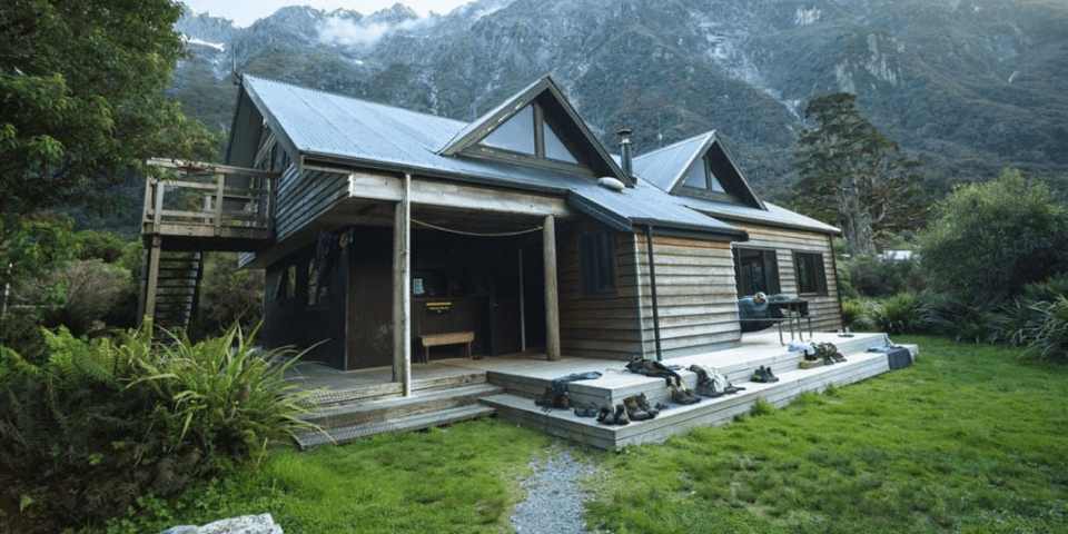
This popular tramp gives a glimpse of Westland's spectacular forest, river and mountain scenery, with natural hot pools at Welcome Flat an added attraction.
Roaring Billy Falls
Maps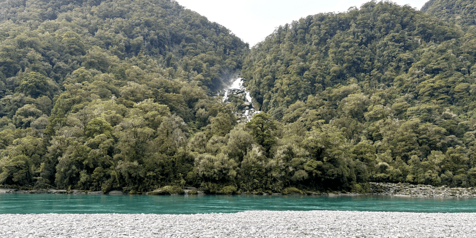
This gentle walk through a beautiful podocarp and silver beech forest to the Haast River ends with a great view of the Roaring Billy Waterfall. The forest is lush with tree ferns, a special feature of the walk.
Thunder Creek Falls
Maps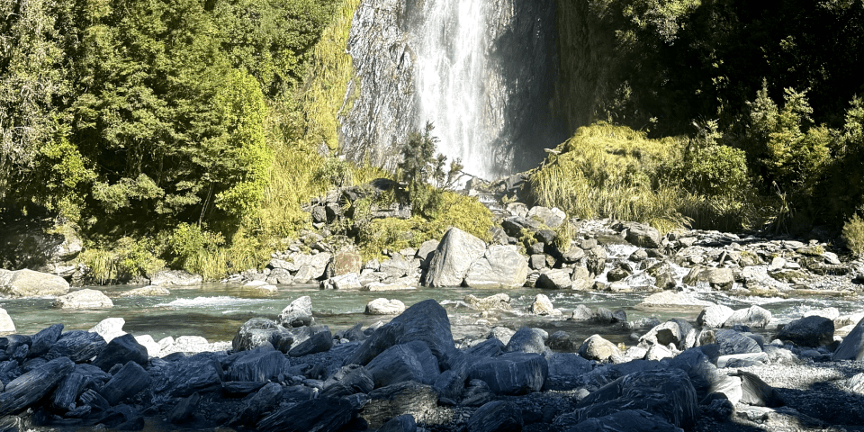
An easy walk along a sealed track that passes through kamahi and silver beech to the 28-metre, spectacular and aptly named, Thunder Creek Falls.
Fantail Falls
Maps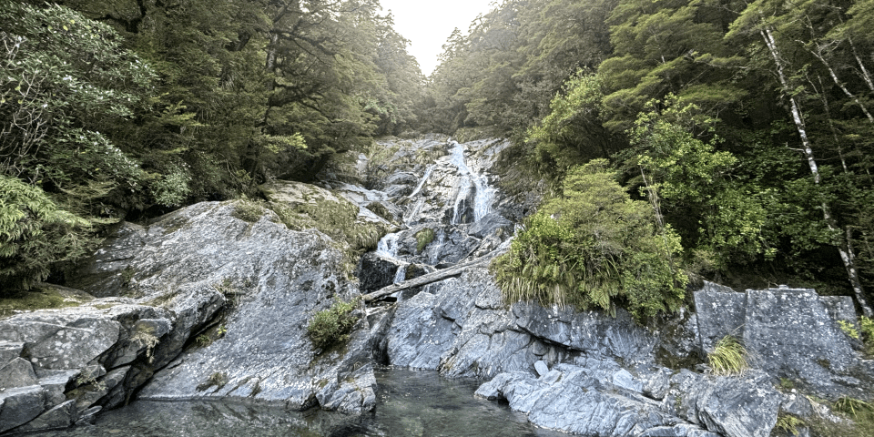
A short, easy bush walk to a view of Fantail Falls on the other side of the Haast River.
Knights Point Lookout
Maps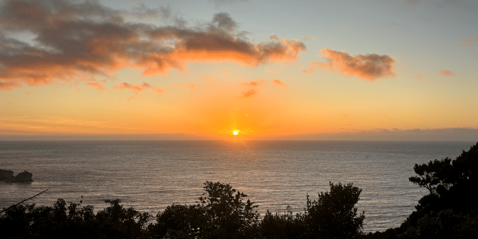
Stop here for panoramic views of the wild coastline, rainforest and ocean. Seals are often seen in the distance on the beach at Arnott Point. Information panels tell of the landforms, early travellers, the sea and marine mammals.
Haast Beach
Maps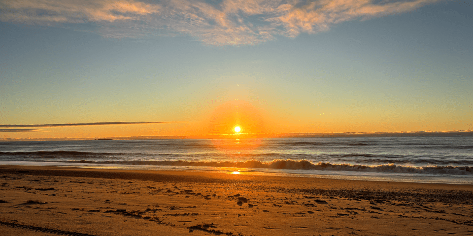
Experience the serene beauty of Haast Beach, where glowing sunsets illuminate vast stretches of sandy shores. Scattered driftwood line the shores, with stunning mountain vistas framing the horizon behind.
Fiordland Crested Penguin (Tawaki)
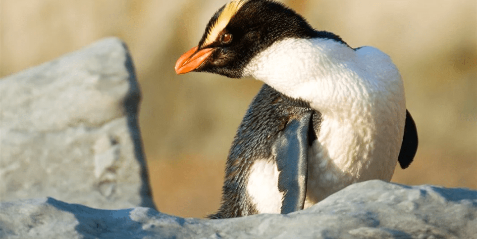
The Fiordland crested penguin (Tawaki) is one of the rarest New Zealand mainland penguins. The current Tawaki population is between 2,500 and 3,000 breeding pairs and has been in decline since the 1950s.
Tawaki can occasionally be spotted along the sandy shores of Monro Beach during breeding season.
Fiordland crested penguins are sensitive to human disturbance particularly at breeding and moulting sites, so please keep your distance and move away if they seem stressed. Both adults and chicks are vulnerable to dogs.
Schedule
Jan
From mid-January the moulting season begins - if you're lucky you might see a penguin during this time.
Feb
Moulting takes about 4 weeks and is a stressful, vulnerable time for the penguins. They stay ashore and don't eat, losing about half their body weight and becoming disoriented. They often look sick 🙁
Mar
The penguins finish moulting in early March and head out to sea.
Apr
Out at sea.
May
Out at sea.
Jun
Out at sea.
Jul
Breeding season begins, and lasts until December.
Aug
Eggs are laid by the end of August and incubated by both parents for the first 5-10 days, after which the female leaves the nest for a 10-14 day foraging trip. When she gets back it's the male's turn to go out and feed at sea, also for 10-14 days.
Sep
Eggs hatch after 31-35 days of incubation. Chicks are guarded by the male and fed by the female for the first 3 weeks.
Oct
The chicks form small creches and are left unattended for long periods while both parents are at sea foraging for food.
Nov
Chicks become independent. Adults and chicks leave the colony in late November - early December and head out to sea to fatten up before the moulting season.
Dec
Out at sea.
Deer
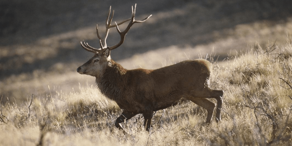
Deers are not native to New Zealand and are considered pest animals in the region. They prevent regeneration of favoured plant species, which causes significant changes to the structure and composition of native ecosystems.
Deers can occasionally be spotted while on treks around the area. Deer hunting is a famed sport in Haast, with the Haast roar season typically stretching from March to April.
Haast roar block ballot system
The Haast roar block ballot system ensures hunters have access to an area, with the knowledge that only one hunting party will be in each of the blocks for a seven-day period.
Hunters using a firearm must abide by the New Zealand Police Arms Code and the Arms Act 1983 and have a valid firearms licence.
For more information, refer to the Haast roar block ballet system on DOC.